Log in
All resources
Create a design
37,876 Free Images of 1886 Maps
maps made in the 17th century
atlantis magni tomus tertius (biblioteca comunale di trento)
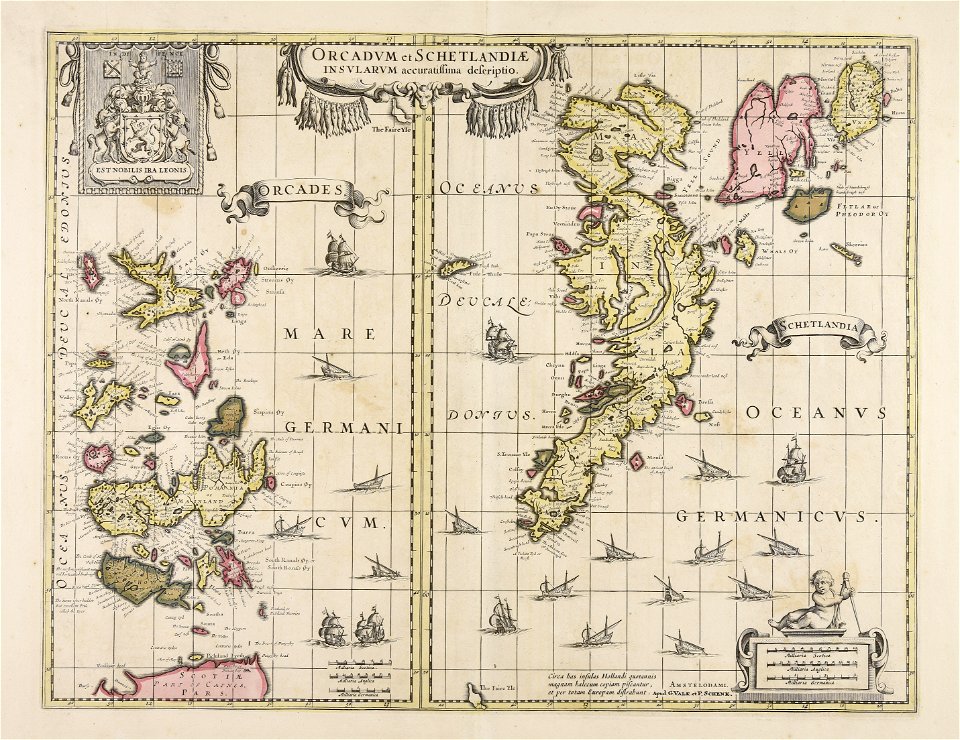
maps by pieter schenk (i)
maps by nicolaes visscher i
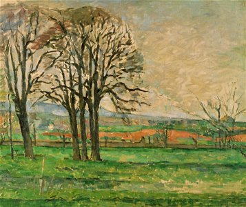
1886 paintings
maps made in the 18th century
atlantis magni tomus quintus (biblioteca comunale di trento)
maps with cartouches
atlas van der hagen
fonds ancely - bibliothèque municipale de toulouse - maps
geographical illustrations by coronelli
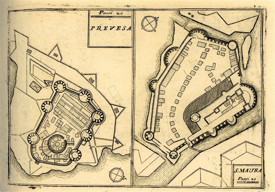
maps of lefkada
maps of paris by braun & hogenberg
maps of paris from paris musées
provided by landsbókasafn íslands
maps by giacomo gastaldi
provided by landsbókasafn íslands
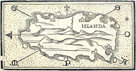
16th-century maps of iceland
old maps of greece
giovanni camocio
atlas of the russian empire (1800)
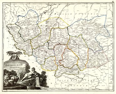
maps of volyn governorate
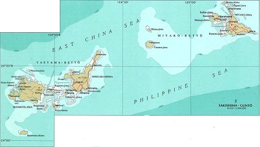
national atlas maps of occupied ryukyu islands
maps of sakishima islands
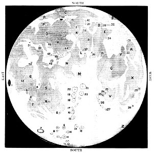
old maps of the moon
1887 maps
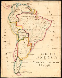
aurelia townsend herrick
1831 maps
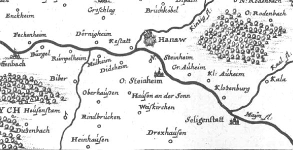
offenbach-bieber
maps of hanau
pennsylvania
sheffield
pennsylvania
sheffield
provided by landsbókasafn íslands
maps by giacomo gastaldi
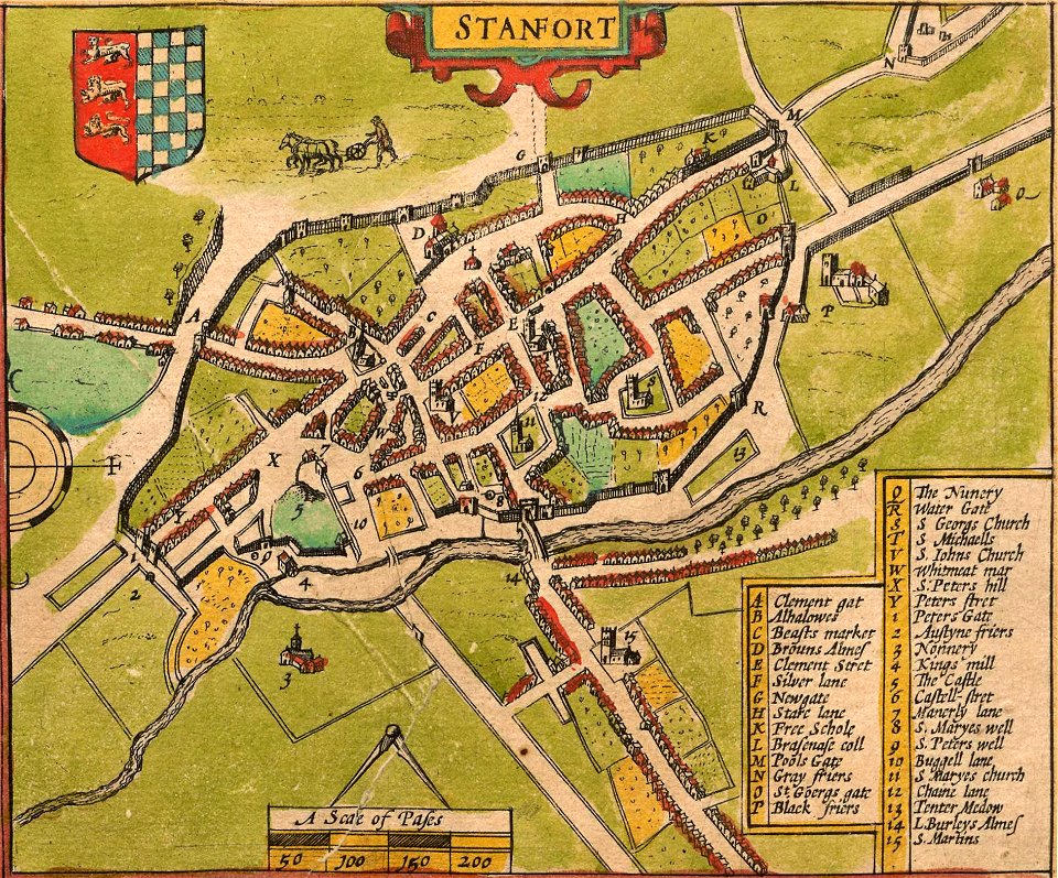
lincolnshire
stamford
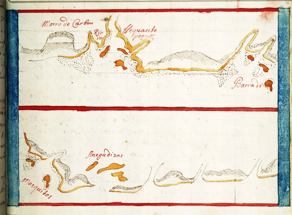
16th-century maps of the caribbean
theodor de bry
lucas janszoon waghenaer
1588 maps
charts and maps of the royal museums greenwich
1682 maps
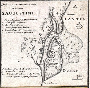
florida
1730s
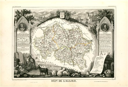
nouveau cours d'instruction primaire de géographie (1886)
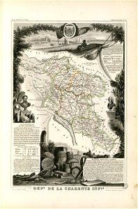
1886 maps of france
19th-century paintings in the national arts museum of the republic of belarus
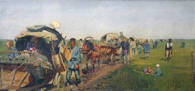
history paintings by sergey vasilyevich ivanov
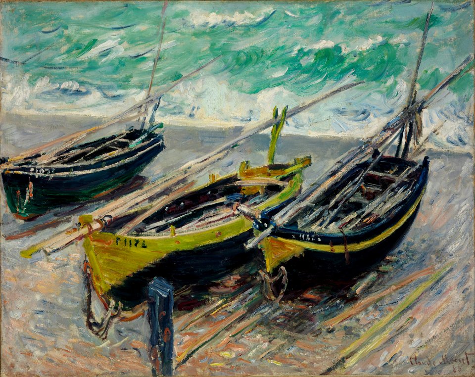
list of paintings by claude monet
1880s paintings by claude monet
oil paintings of people
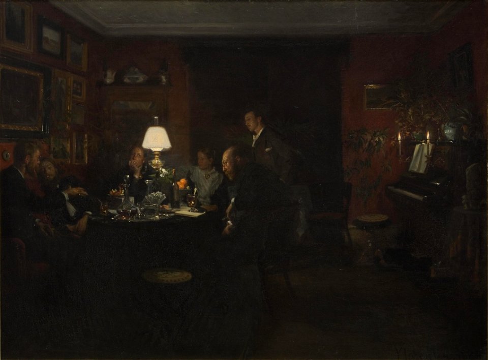
parties in art
19th-century paintings of dogs
19th-century paintings of cats
19th-century marine paintings
1886 paintings
high-resolution images of paintings from the national museum in warsaw
1886 paintings
paintings by alexandre cabanel in the musée des beaux-arts de béziers
paintings in the musée des beaux-arts de béziers
paintings by alexandre cabanel in the musée des beaux-arts de béziers
paintings in the musée des beaux-arts de béziers
paintings by paul gauguin in the united states
list of paintings by paul gauguin
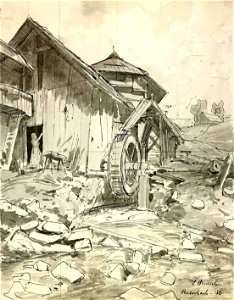
watermills in slovenia
watermills in art
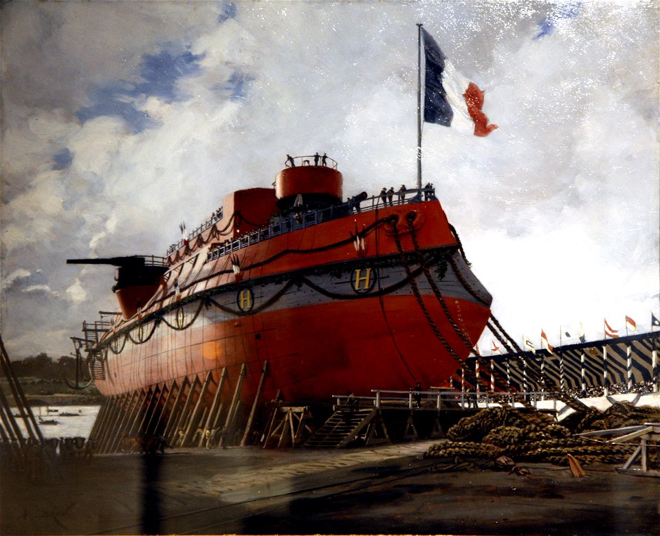
ship launching
1886
low tide in normandy
1886 paintings
1880s paintings in france
1886 paintings
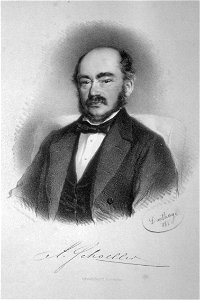
men of germany
businessmen
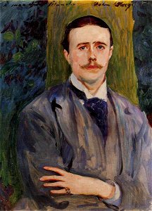
male portrait paintings by john singer sargent
jacques-émile blanche
1880s portrait paintings from france
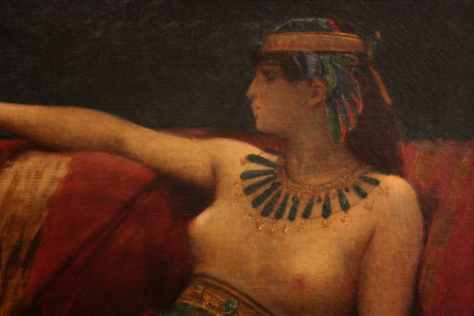
jean-léon gérôme
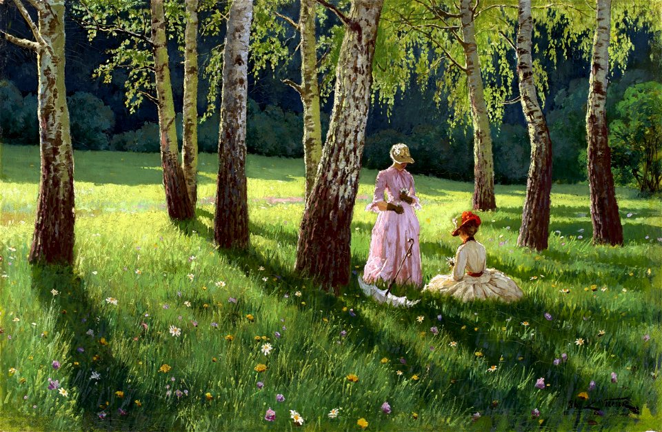
paintings of trees
tokyo
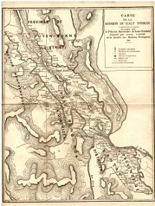
old maps of vietnam
1899
maps made in the 17th century
maps by nicolaes visscher i
maps made in the 17th century
old maps of westphalia
maps made in the 17th century
maps by pieter schenk (i)
maps made in the 17th century
maps by nicolaes visscher i
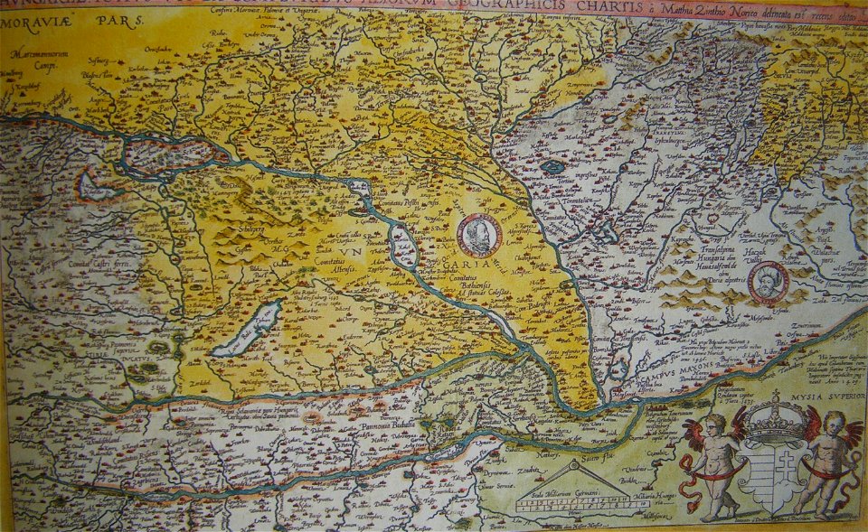
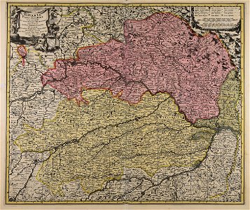
old maps of the history of hungary
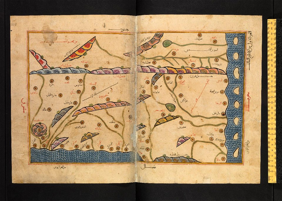
old maps of the ottoman empire
maps made in the 17th century
maps by nicolaes visscher i
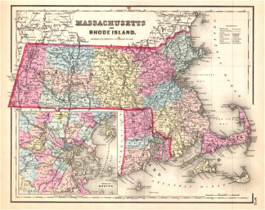
maps by joseph hutchins colton
1857 maps of massachusetts
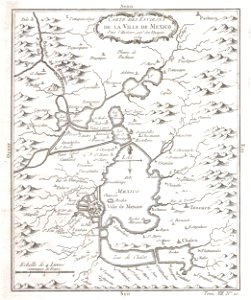
old maps of mexico
mexico
atlantis magni tomus quintus (biblioteca comunale di trento)
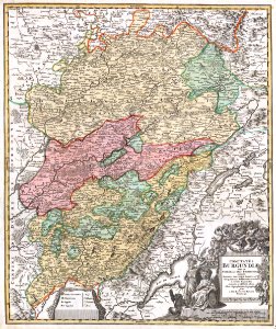
maps made in the 18th century
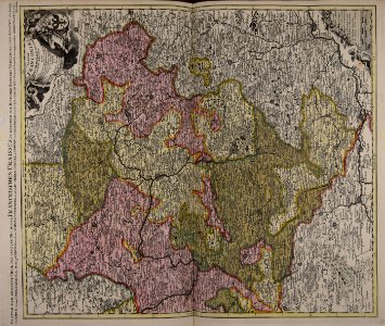
maps with cartouches
atlas van der hagen
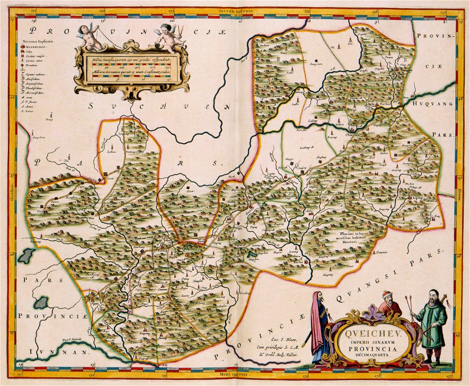
17th-century maps of china
guizhou
old maps of hesdin
old maps of france
maps with cartouches
vercelli
maps with cartouches
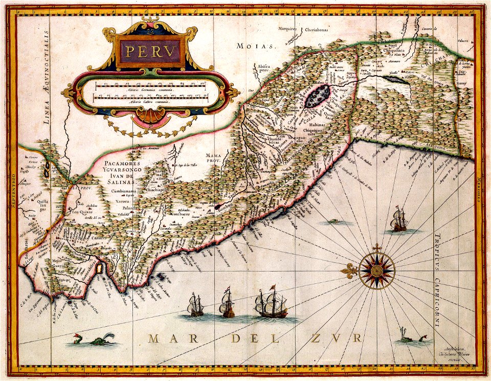
old maps of peru
maps made in the 17th century
maps by nicolaes visscher i
dutch-language maps
johannes ratelband
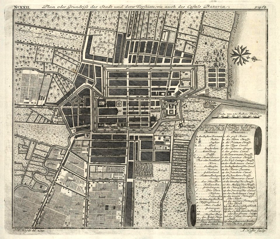
kota tua
batavia
maps by pieter schenk (i)
gerard valck
maps made in the 17th century
maps by pieter schenk (i)
johann baptist homann
latin-language maps
hatched coats of arms
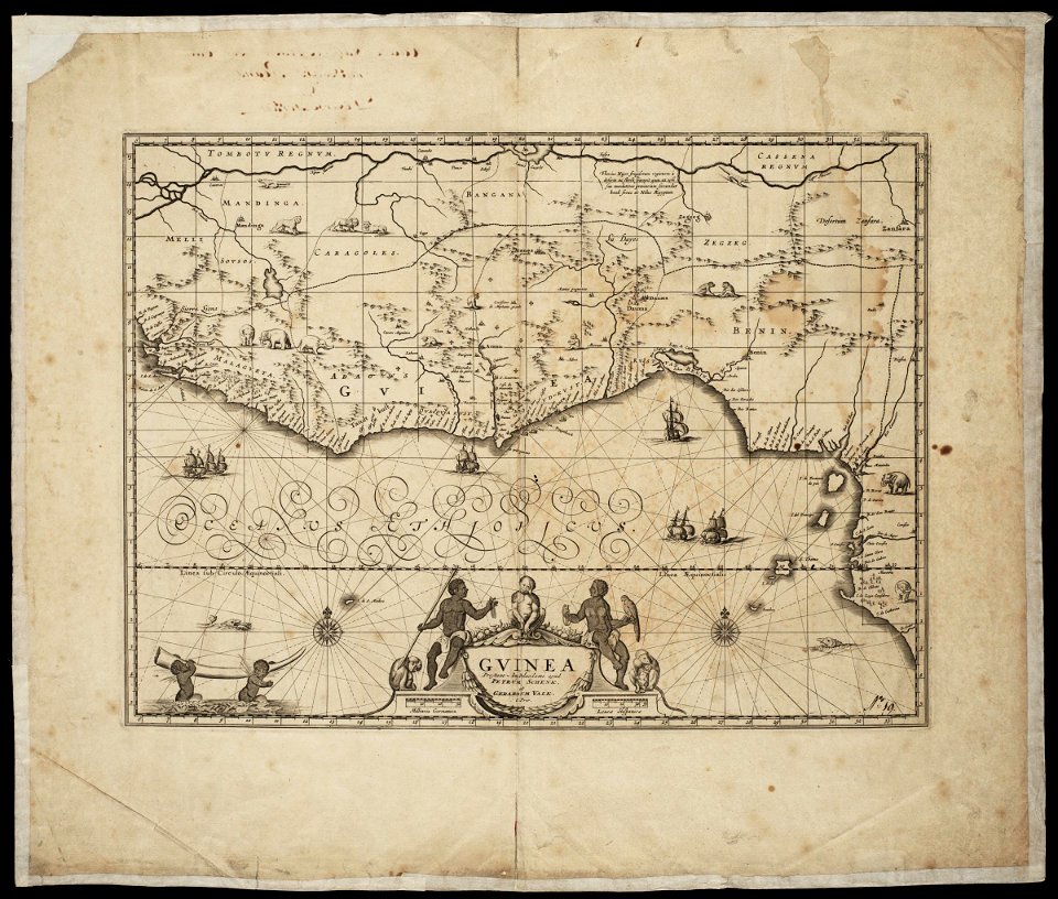
atlantic ocean
fonds ancely - bibliothèque municipale de toulouse - maps
coats of arms of cities in allier
fonds ancely - bibliothèque municipale de toulouse - maps
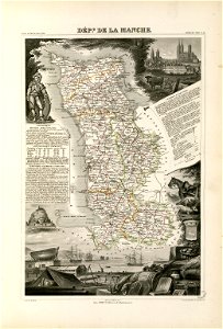
coats of arms of cities in manche
coats of arms of cities in eure
old maps of eure
fonds ancely - bibliothèque municipale de toulouse - maps
victor levasseur - maps of france
old maps of algeria
bodleian library
maps made in the 17th century
maps by nicolaes visscher i
maps made in the 17th century
maps by nicolaes visscher i
maps made in the 17th century
maps by nicolaes visscher i
maps made in the 17th century
maps by nicolaes visscher i
old maps of the carolingian empire
old maps of europe
maps by nicolaes visscher i
old maps of greece
maps made in the 17th century
old maps of gelderland
maps by nicolas sanson
northern michigan
atlantis magni tomus quintus (biblioteca comunale di trento)
maps made in the 18th century
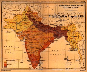
old maps of the indian subcontinent
1909 maps of india
fonds ancely - bibliothèque municipale de toulouse - maps
robert batty (artist)
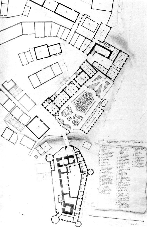
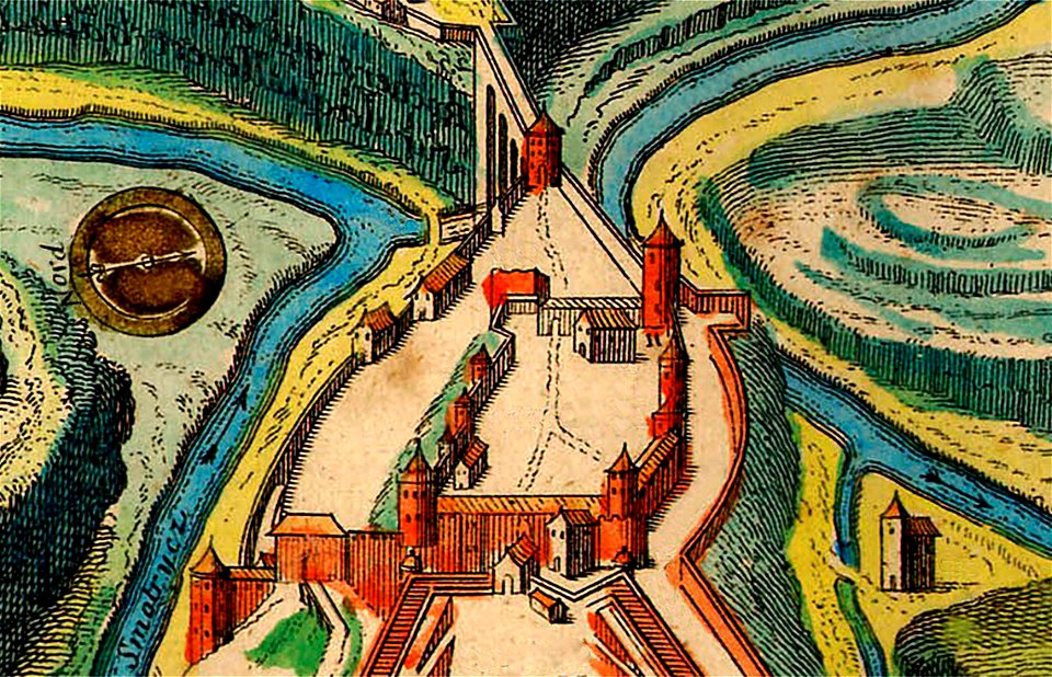
burg meersburg
pencil drawing
the northern hemisphere of the celestial globe by albrecht dürer
old celestial maps
maps made in the 18th century
old maps of iran
maps made in the 18th century
old maps of saxony
files from the bodleian libraries
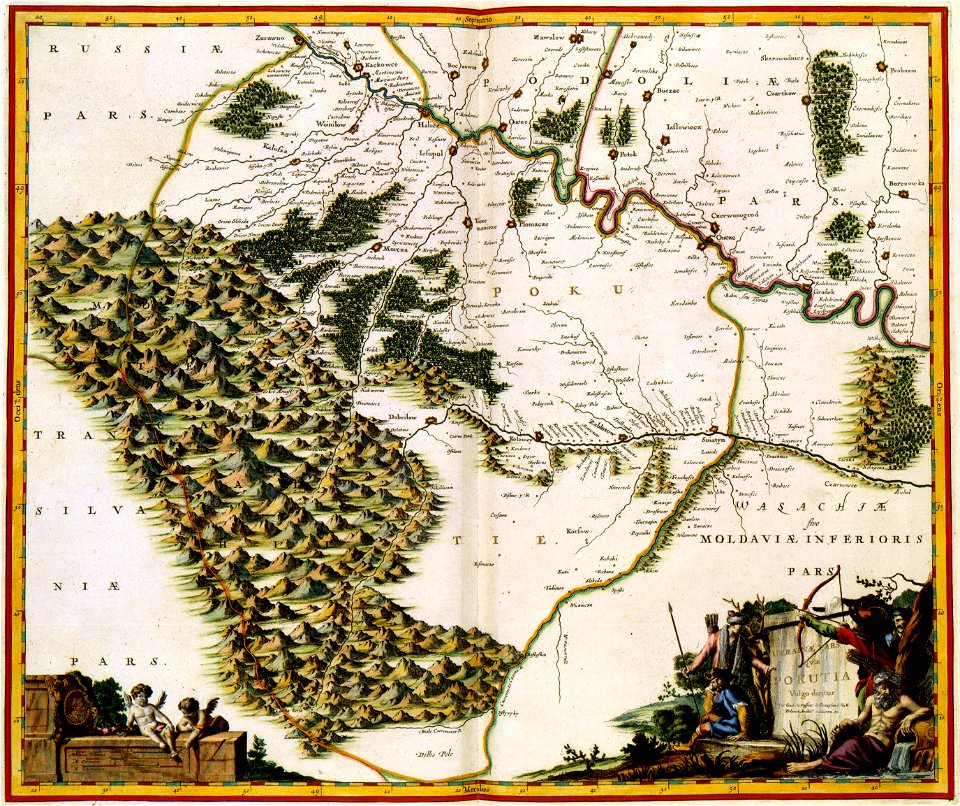
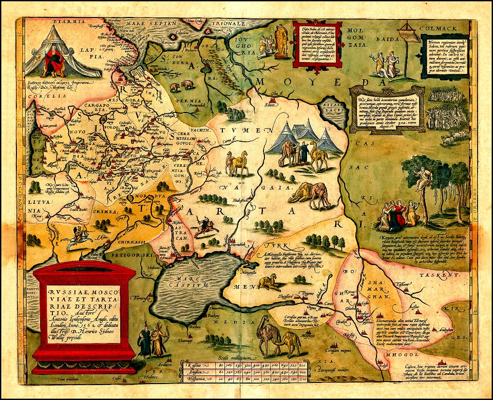
maps of tartary
maps of kamianets-podilskyi
nicolas de fer
1760s etchings
1760 maps
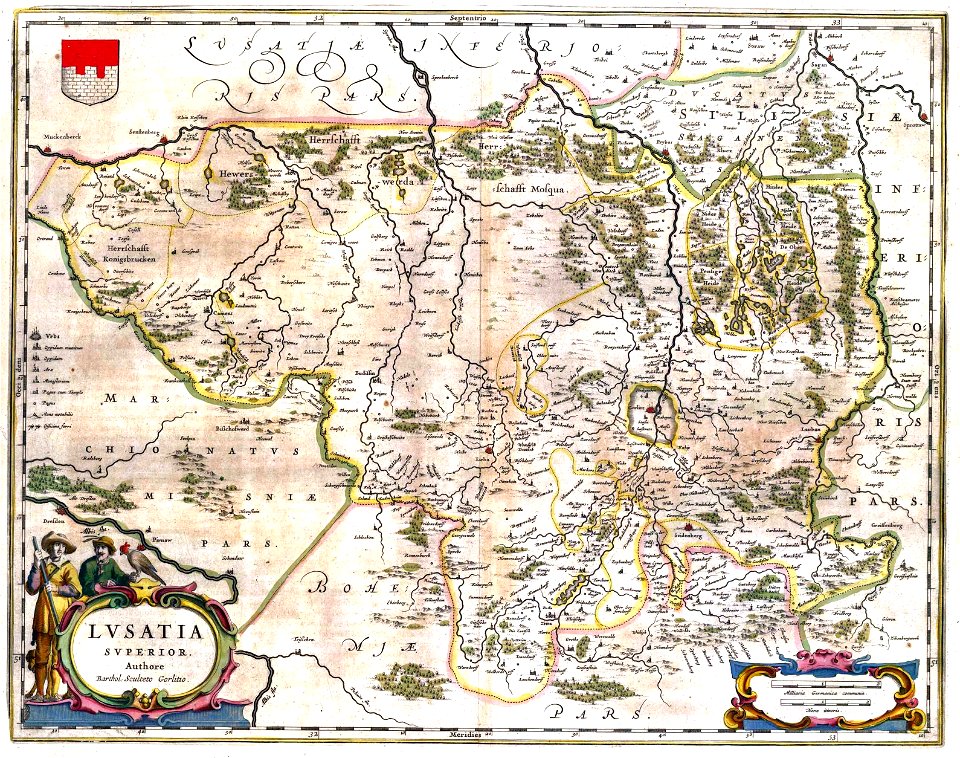
upper lusatia
kwisa
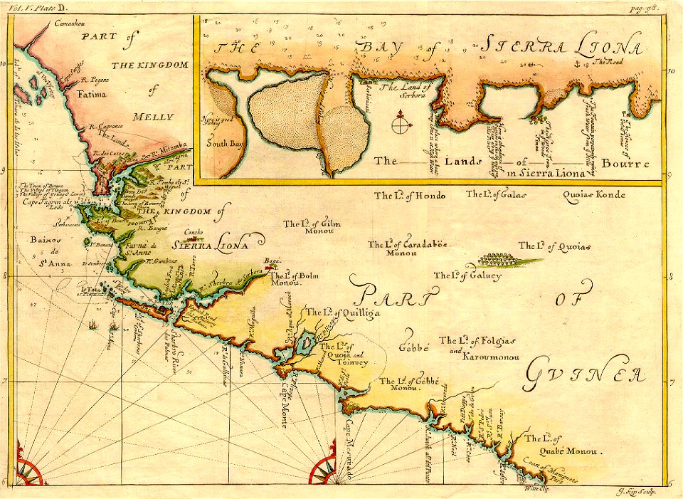
johannes kip
1732 maps
images from the new york public library
old maps of the tsardom of russia
maps made in the 18th century
old maps of flanders
copper engraving
beavers in art
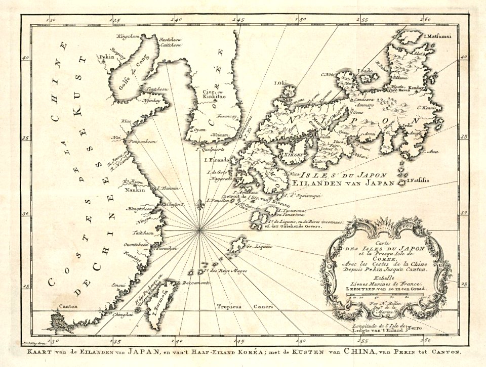
maps of the dutch east india company - japan
1747)
maps made in the 17th century
gerard valck
maps made in the 17th century
gerard valck
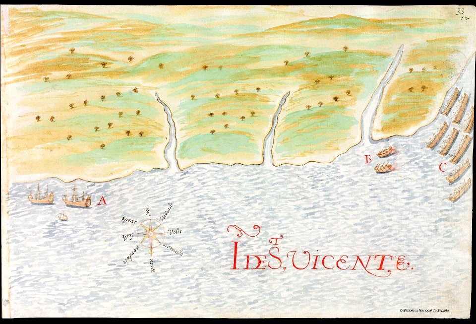
history of saint vincent and the grenadines
pictorial maps
nouveau cours d'instruction primaire de géographie (1886)
1886 maps of europe
nouveau cours d'instruction primaire de géographie (1886)
topographic maps of france
nouveau cours d'instruction primaire de géographie (1886)
economic maps of france
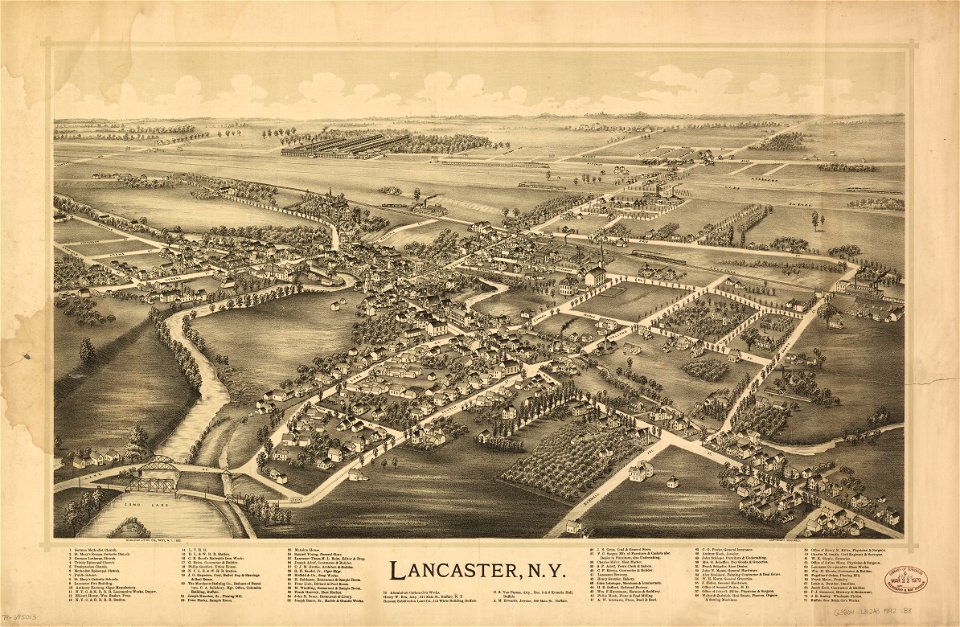
erie county
new york
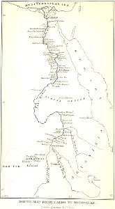
maps from the mechanical curator collection
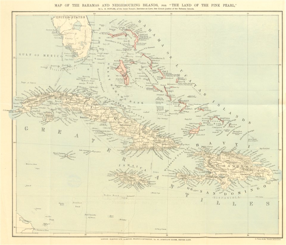
the land of the pink pearl
erie county
new york
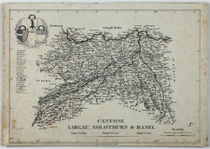
historical images of solothurn
carl durheim
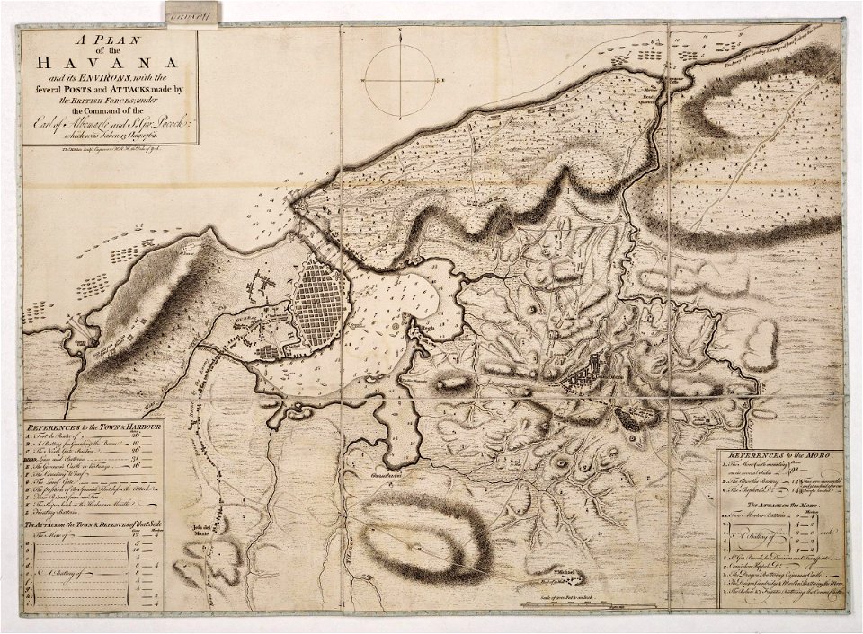
maps from the mechanical curator collection
william peel (royal navy officer)
morro castle (havana)
london
atlas van der hagen (volume 3)
maps with cartouches
5001 - 5100 of 37,876
Next page
/ 379